Explore West Mongolia with local flight
(10 days)
short description
Detailed description

Flight to Ulaangom
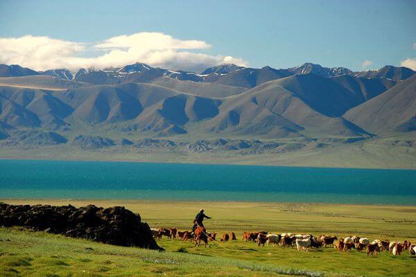
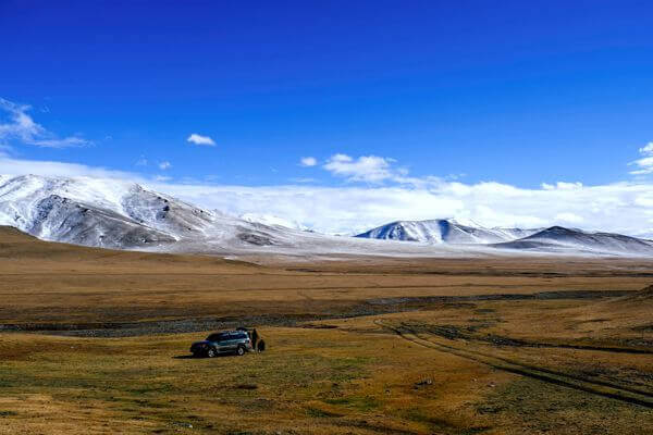
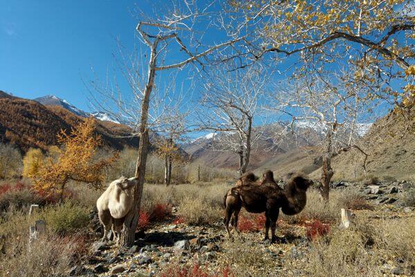
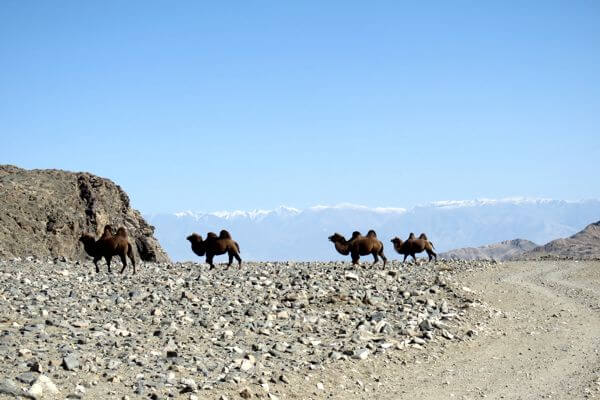
Uvs province in the far north west of Mongolia is a spectacular region of permanently snow-capped mountains, glaciers, torrential rivers, salt-water and freshwater lakes, sand dunes and a fantastic variety of animals and plants. The local people use camels as well as horses as working animals, and we will be accompanied by local guides on horseback with their camels which carry all the luggage and equipment.
Our 8-day horse riding adventure to Mount Kharkhiraa and Mount Turgen covers a distance of approximately 120km and includes two high passes at altitudes of 2930 metres and 2944 metres. A moderate level of fitness is required, but the ride at certain point hike is not too strenuous even at the higher levels. The weather is unpredictable in the mountains and we have to be prepared for everything, including snow, even though it is summer.
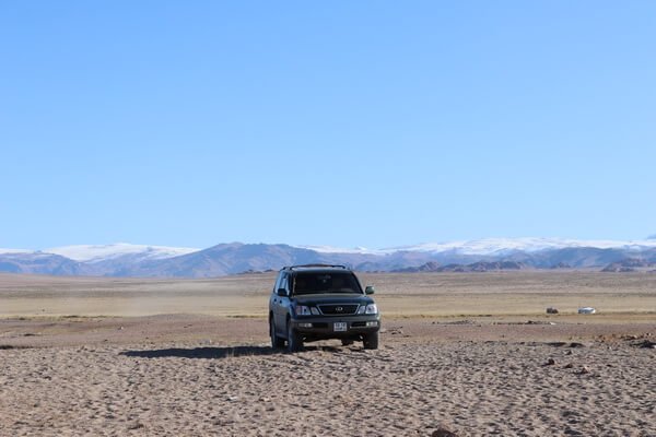
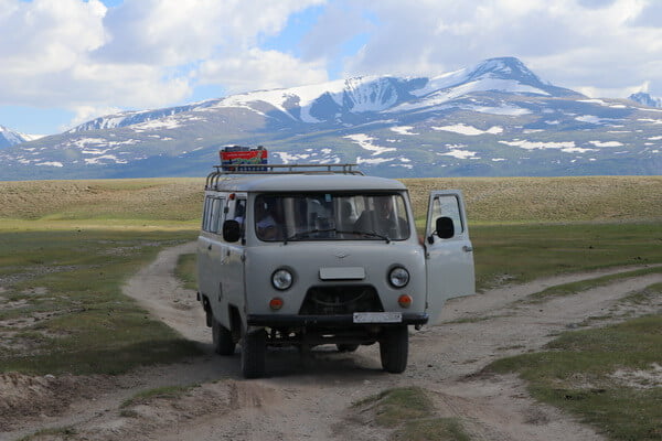
Today we will take the plane for Ulaangom, capital city of Uvs province. After 3 hours of flying we will reach the airport of Ulaangom where our guides and vehicles will be waiting for us.
The foundation of the Ulaangom Monastery was erected in 1871 as Dechinravjaa Monastery. Historical evidence indicates that there were grain plantations in operation in late 17th century in the area of Ulaangom.
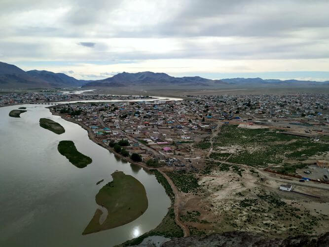
After our short visit of the Aimag capital city we will head for Uvs Lake.
(Tented camp L, D)

Uvs Lake
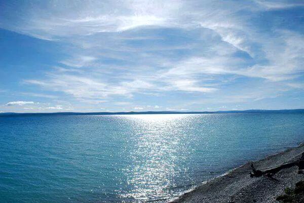
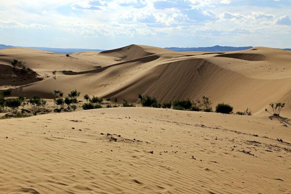
This immense lake (80 km wide and 80 km long) is located 28 kilometres northeast of Ulaangom. Although, at a relatively low altitude, it’s one or the coldest places in the whole country in winter. The basin’ of Uvs Nuur is characterised by remarkable ecological diversity-desert, marsh, dunes, semi-desert, steppe, taiga, tundra, and glaciers-in a relatively compact zone. For this reason, it is now among the ten world sites chosen for an international research programme on biospheres. Since 1993, the basin has acquired four strictly protected zones. The zones include Uvs Nuur, Mount Tsagaan Shuvuut, Mount Turgen and Altan Els. Here the world’s most northern desert meets the world’s most southern tundra zone. Since the basin spans the geo climatic boundary between Siberia and Central Asia, temperatures may vary from −58 °C in winter to 47 °C in summer. Despite its harsh climate, the depression is home to 173 bird species and 41 mammal species, including the globally endangered snow leopard, argali, and ibex. Large numbers of gulls, and migratory birds live at Uvs Nuur in summer. In 2003, the UNESCO listed the Uvs Lake Basin as a natural World Heritage Site. It was nominated as “one of the largest intact watersheds in Central Asia where 40,000 archaeological sites can be found from historically famous nomadic tribes such as the Scythians, the Turks, and the Huns. This trans-boundary patrimony is one of the largest sites inscribed in the World Heritage List to date.
(Tented camp B, L, D)

Kharkhiraa & Turgen Mountains
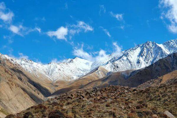
Today we will cross a pass to reach the open Kharhiraa plateau, a plateau surrounded by glaciers. We will see several smaller lakes in that area. Those glaciers are the sources of the Kharhiraa River.
We will pass the glaciers and ride to the Turgen Mountain. We will cross the Kharhiraa Mountain Pass, lying at 3000m above sea level to reach the Yamaatiin valley. The pass is located between the Kharhiraa and Turgen glaciers, both over 4000m high. As we pass between the glaciers we will have spectacular views of both valleys on either side of the pass, and of the stunning white glaciers.
(Tented camp B, L, D)

Uureg Lake
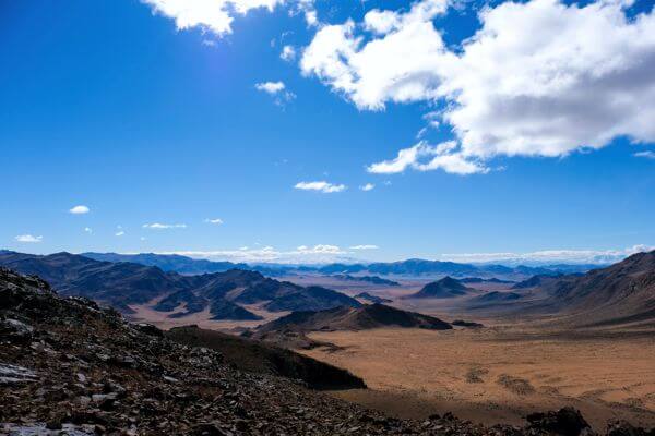
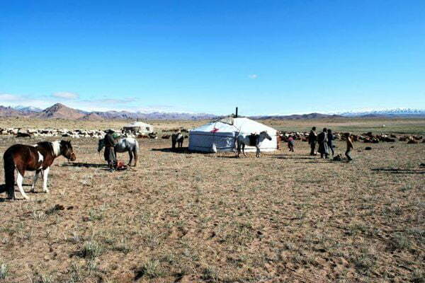
Today we will head for Uureg Lake, which lies close to the Russian border and Siberia. It is a large, beautiful slightly salt-water lake surrounded by glorious mountains and some snow-capped 3000 meters plus peaks. The mouth of the valley leading into the lake is lined with nomad’s summer gers. The scene is breathtaking and so are the people. We will have the opportunity to visit some families.
Before reaching the lake we will cross the Ulaan Davaa Pass, enjoying the views of the red mountains and sprawling valley floor.
We will spend the whole afternoon around the lake. The lake is great for swimming and there are good opportunities for hiking, fishing, bird watching, etc. Sunsets and sunrises in this dramatic scene can be stunned. They make us feel as if we are the only people on earth or as if we have reached the edges of the viable world. We will camp along the lakeshore.
(Tented camp B, L, D)

Achit Lake
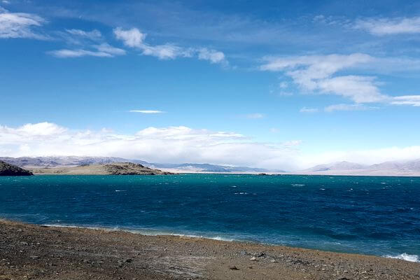
From here we will drive to Achit Lake. Achit Lake is the largest freshwater lake in the province. It is on the border of Uvs and Bayan Ulgii provinces, and is an easy detour between Olgii and Ulaangom. It offers stunning sunsets and sunrises as well as good fishing. The lake is home to an astonishing array of water bird flocks.
Before reaching the lake we will cross the Ogotor Hamar Pass from which you will have breath-taking views of the region. We will hike the whole afternoon around the lake.
(Tented camp B, L, D)

Olgii
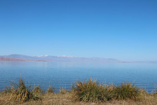
Today we will reach the most western aimag of Mongolia, Bayan-Olgii. Unlike the rest of Mongolia, which is dominated by Khalkh Mongolians, about 90% of Bayan-Olgii’s population are Kazakh, almost all of them Muslims.
Olgii, capital city of the aimag is a Muslim influenced ethnically Kazakh city. It is home to a mosque.
Olgii’s mosque and madrasah (Islamic place of learning) is worth a quick look, especially on Friday at lunch time when weekly prayers are held, though you may not be allowed inside. The mosque holds the offices of the Islamic Centre of Mongolia. Its unusual angle is due to its orientation to Mecca.
We will spend the afternoon strolling around in the aimag centre. We will visit the museum that has some interesting displays and gives a good overview of Kazakh culture. We will also pay a visit to the mosque.
(Ger camp B, L, D)

Namarjin Valley & the Tsambagarav Mountain
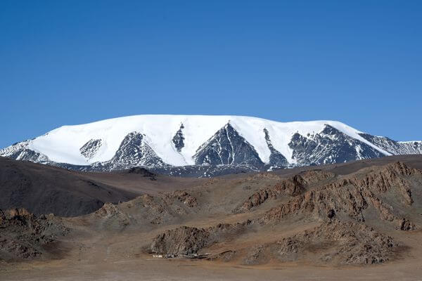
After breakfast we will set of for Namarjin Valley. For a whole day we will ride into the direction of the snow-capped Tsambagarav Mountain. Tsambagarav Mountain, Mongolia’s 3rd highest peak is located in a national park of more than 110 thousand hectares. The permanently snow-capped Tsambagarav Uul straddles the border between Khovd and Bayan-Olgii aimags. Tsambagarav Mountain is accessible from either side. This towering mountain of 4208 m has quite easy access to summit despite its altitude. You will have excellent views of Tsambagarav Mountain (4200 meters), one of Mongolia’s most glorious snow-capped peaks. We will also drive along several Kazakh settlements and a beautiful turquoise lake. The grassland in this valley is covered with a carpet of alpine flowers.
(Tented camp B, L, D)

Baruungol Valley & Khar Us Lake
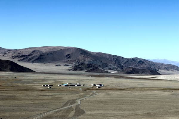
We pass through Baruungol Valley from where you will have a fine view over Khar Us Lake. In the evening we will set up our tents close to a nomad family. We will experience the warm hospitality offered by the Mongolian families. For dinner we will be offered a typical Mongolian barbeque that will be prepared by nomads. Those who want will have the opportunity to try the “airag” or fermented horse milk. Our guide – translator will help us to forge contact with the local population. The whole day we will explore the region of lush valleys, dozens of little lakes and permanently snow-capped peaks.
(Tented camp B, L, D)

Tsenheriin Agui
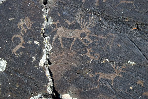
The Tsenkheriin Agui (also known as Khoid Tsenkher) caves are for their cave paintings, dates from 20.000 years ago. Interesting is that both mammoths and ostriches are depicted on the walls, proving that both lived in Mongolia up to approximately 15,000 years ago.
The cave has numerous passages to explore. The largest cavern (12 by 18 meters) is about 15m high. We will make a short trekking in the cave’s area.
The cave is located 25 km west of of Mankhan soum in Hovd province.
(Ger camp B, L, D)

Khovd and flight back to Ulaanbaatar
We will arrive in Khovd, capital city of Khovd Provinve. Sangiin Kherem is the Mongolian name for the remains of the Manchu fort in the Northern part of Khovd city, Mongolia. The fort was built in the 18th century, and later became the seat of the Manchu amban and his office. The fort has a quadratic layout; the walls are made of clay. There were gates at the east and west and watch towers at the four corners. The fort’s walls were surrounded by water ditches, with wooden bridges to access the gates. The remaining walls are 3 metres high and 1.5 metres thick, oriented at the four corners of the earth, each side was 0.33 km. According to Russian Geographer M. V. Pevtsov, who visited the city in 1878, the height of the walls back then was 4.5 metres [1]. The southern portion of the fort was occupied by the Manchu amban, treasury, offices, and military barracks. The eastern part was occupied by commercial firms, a Chinese Buddhist temple and a mosque. Since the year 1912 when city Khovd was liberated from the Manchu administration and the fort was taken by force, the citadel declined.
Flight back to Ulaanbaatar. You may enjoy the free afternoon to catch up all the places you haven’t visited yet. You might as well check the beautiful cultural show enjoy the colourful and rhythmic Mongolian dance, throat singing & admire the contortionists.
(B, L)

Option 1: days to Khoton & Khurkhan Lakes on the way to Tavan Bogd Mountain
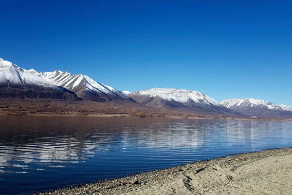
From Ulgii we will drive further westwards into the direction of the Tavan Bogd Mountain. We will reach in the afternoon the Khoton and Khurgan Lakes. They are pretty lakes at an altitude slightly over 2.000 meters’ altitude. South of the lake, into the direction of China you will see the snow-capped Altai Mountain Chain.
Option 2: Overnight in Eagle Hunter family
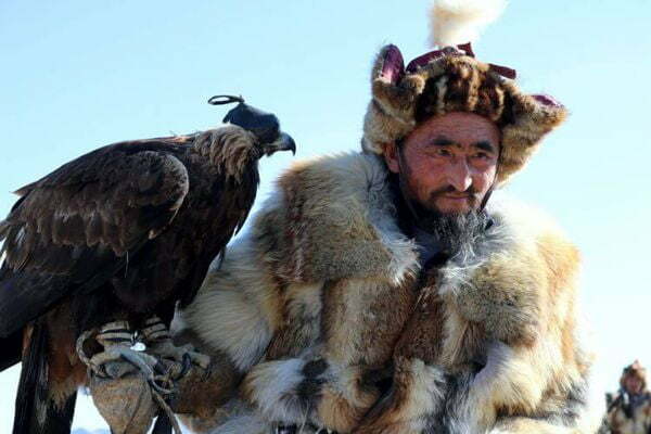
During one day we will live a life of a Kazakh eagle hunter! We will be follow our eagle hunter and his bird on horseback for 3-4 hour treks through the Altai Mountains looking for prey. The rest of the time we will be interacting with the family members (Kazakh people tend to have large families) and experiencing their daily life. Kazakh people are known with their warm hospitality so prepare to feel greatly welcome in their home.
Option 3: Overnight with Dorvod family
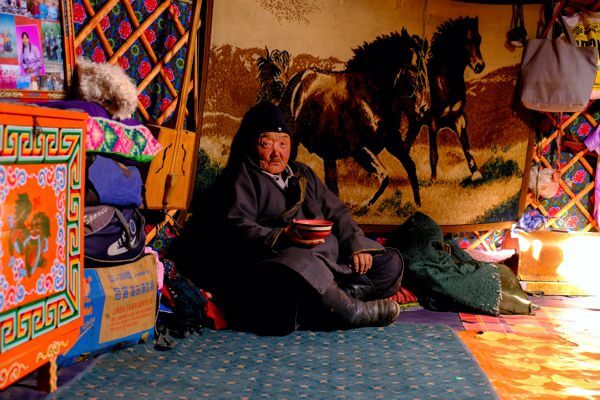
It is the second largest subgroup of Mongol people in modern Mongolia and was formerly one of the major tribes of the Four Oirat confederation in the 15th-18th centuries. The tribe has kept its own unique culture, custom and have strongest accent in whole Mongolia.
Option 4: Tolbo Lake
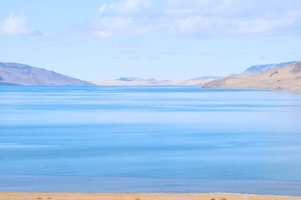
Tolbo nuur is a lake of 185 square km whose surface is at 2.080 meters above sea level. The lake water is crystal clear and fresh, over 10 km wide, 18 km long and 10 meters deep.
On the way from Olgii to Khovd, we will stop for a day at Tolboo Lake, a pristine sweat water lake, situated at 2080 meters above sea level. The lake is the site of a famous battle in the 1920’s struggle for Mongolian independence and several monuments recognize the heroism of Mongolian soldiers. We stop in Deluun village to visit the local WWII monument, then continue to the Chigertei River, whose unusually warm water is fed by a nearby hot spring.
INCLUDED
- Land transportation
- 2 nights Ger camp stay
- 8 nights tented camp stay
- Meals 9B, 10L, 9D
- Tour guide
- Camping and kitchen equipment
- National park, museum, monastery entrance fee
NOT INCLUDED
- Hotel in Ulaanbaatar
- City touring
-
Medical, trip insurance and
evacuation costs - Alcoholic and soft drinks
our guranteed departures
fixed tour-1
fixed tour-1
fixed tour-1
fixed tour-1
fixed tour-1
