our guranteed departures

Best of Altai Tavan Bogd National Park
(6 days)
Best of Gobi Desert
(8 days)
The Genghis Khan's Birthplace
(8 days)
The Secrets of Gobi Desert and the Steppes of Central Mongolia
(10 days)
The Central Mongolia and Khovsgol Lake
(12 days)
Big Loop of Mongolia
(18 days)

Western Mongolia and Great Gobi National Parks Encompassed
(28 days)

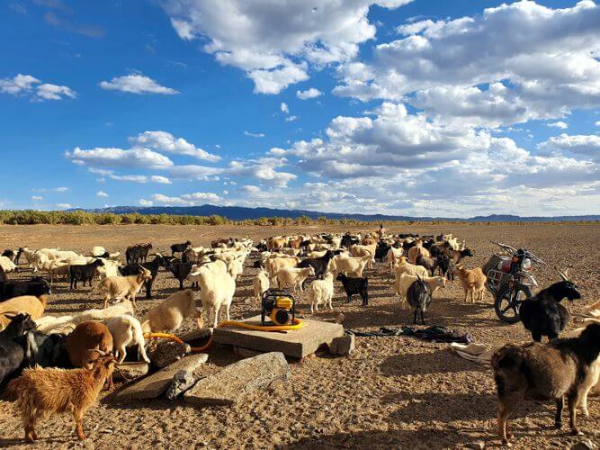
sheep and goats
Taxi in Mongolia
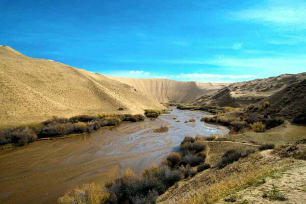
Mukhart Oasis
Facebook
Twitter
LinkedIn

Detailed description

one

Karakorum

Karakorum is the site of the 13th century capital of the Mongolian Empire created by Genghis Khan. The founding of Karakorum started on the ruins of Turug and Uigur cities in the Orkhon valley at the eastern end of the Khangai Mountains in 1220 by the Genghis Khan’s order. It was completed 15 years later during the Ugedei Khan’s reign. The town was a very cosmopolitan and religiously tolerant place.

The silver tree, part of Möngke Khan’s palace has become the symbol of Karakorum.

The highest peak of its prosperity was from 1220 to 1260. The specific feature of this stage is that Karakorum existed as the great capital of the Euro-Asian Empire with Mongolia as its core and as the centre of politics, economy, culture, religion, intellect, and diplomacy and the prominent tie of international relations.

Between 1260 and 1380 Karakorum lost the status of the Great Mongolian Empire and became the capital of Mongolia. When Khublai Khan claimed the throne of the Mongol Empire in 1260, as did his younger brother, Ariq Boke, he relocated his capital to today’s Beijing. Karakorum was reduced to the administrative centre of a provincial backwater of the Yuan Dynasty.

In 1368, the rule of Mongolian Yuan Dynasty collapsed and the centre of Mongolian government was shifted to its homeland after 110 years since Kublai Khan moved the Empire capital to China in 1260. It gave Karakorum a chance to prosper again.

In 1388, Ming troops under General Xu Da took and destroyed the town.

Today nothing is left from this legendary city.

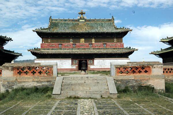
In 1580, when Abtai Sain Khan together with his brother, lord Tumenkhen, visited the 3rd Dalai Lama and expressed their wish to build a temple in Mongolia, he advised them to reconstruct one old temple in Karakorum. The temple in Takhai ruins that was restored in 1588 according to the Dalai Lama’s recommendation is the Main Zuu temple of Erdene Zuu monastery.

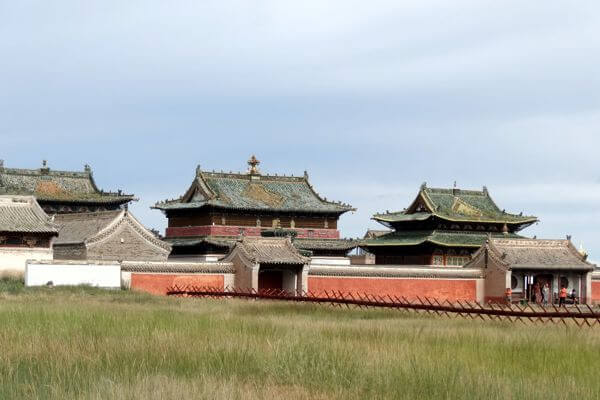
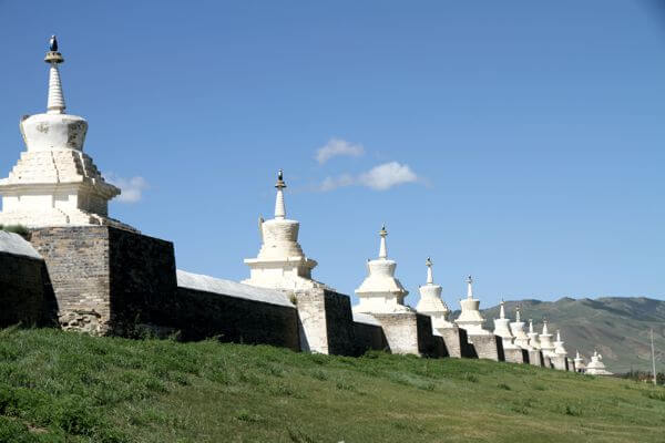
Now Erdene Zuu Monastery is all that remains of what once was a huge monastery of 100 temples and about 1.000 lamas residing there. We will explore the grounds of Erdene Zuu Monastery surrounded by its massive 400 m X 400 m walls. We will be guided around the 3 remaining temples: Dalai Lama, Zuu of Buddha and Lavrin Temple.

Another place we will visit will be Karakorum Archaeological Museum. It is a small museum but housed in a modern well-run building with good lighting and display cases with clear English labels. The exhibits include dozens of artefacts dating from the 13th and 14th centuries which were recovered from the immediate area, plus others that were found from archaeological sites in other parts of the provinces, including prehistoric stone tools. You’ll see pottery, bronzes, coins, religious statues and stone inscriptions. There’s also a half-excavated kiln sunk into the museum floor. Perhaps most interesting is the scale model of ancient Karakorum, which aims to represent the city as it may have looked in the 1250s, and is based on descriptions written by the French missionary William of Rubruck. Another chamber exhibits a most recent addition, a Turkic noble tomb with wall paintings and artifacts, including gold items and jewelry. There is a short video of actual burial site.

We will also see the Turtle Rock and the Phallic Rock, visit little market behind walls exposing local arts by locals.

(Ger camp L, D)
Karakorum Monasteries
Sacred Books
Cradle of Mongolian Civilization
Buddhist Monastery
Temple Mongolia
two

Tsenher hot spring

This morning we will driving westward in the direction of Khangai Mountains. On average, the Khangai Mountains are 2500-3000 M above the sea level and are composed of mainly granite, intrusive chert and sandstone belonging to Paleozoic era. The Khanggai Mountains is about 800 km long, ranging from Zavkhan province territory to Tuv province. They function as the continental divide of the world water system.

The green mountainsides and the network of smaller and larger rivers offer excellent pastureland for the herds of horses, yaks and cows.

In the afternoon we will reach Tsenkher hot spring resort. This resort has a large open-air pool at its customer’s disposal. The hot water of the pool flows continuously in from the hot water spring. At the spring, the temperature of the water is over 80 ° C. A complex pipelines system regulates the water temperature. Some will spend hours sitting in the pool talking to their friends while staring at the stars or scanning the nightly nature around them.

(Ger camp B, L, D)
Tsenher Hot Spring
Central Mongolia
three

Tsetserleg & Terkhiin Tsagaan Nuur

In the morning we will reach Tsetserleg, capital city of Arkhangai province. It is a lovely little town surrounded by forested hills. Here we will visit the Buyandelgeruulekh Monastery, the town main functioning monastery and the nice little Museum of Arkhangai located in Zayaiin Gegeenii Monastery. From the museum we will walk hill upward to a small abandoned monastery and enjoy the beautiful view we have from there over Tsetserleg and the surrounding hills.

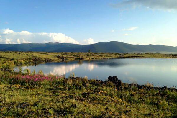
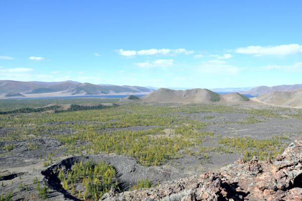
We will eat lunch in a local restaurant. In the evening we will reach Terkhiin Tsagaan Lake. It is one of the most beautiful lakes of the country. The lake is surrounded by extinct and craterous volcanoes, and was formed by lava flows from a volcanic eruption many millennia ago. As a result of the volcano eruptions the landscape is covered with black volcanic rocks.

(Ger camp B, L, D)
Big Loop Of Mongolia
four

Terkhiin Tsagaan Nuur and Khorgo Volcano

Today we will relax around the White Lake (also named the Terkhiin Tsagaan Nuur). We will make an excursion to the top of Khorgo Uul Volcano and we will pass the gorges that lead from Tariat to the volcano.

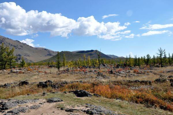
The volcano crater is 200 m wide and 100 m deep and is covered with trees at the back and around the opening of the crater. To the south of Khorgo there are numerous basaltic “gers” formed during the cooling of lava; some of the gers have gates and upper holes and reach 1.7 m high.

(Ger camp B, L, D)
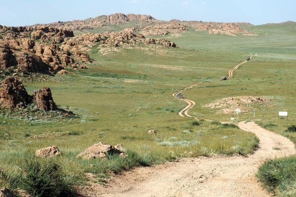
Khorgo Uul
Terkhiin Tsagaan Lake
five

Telmen Lake

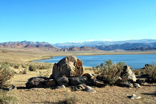
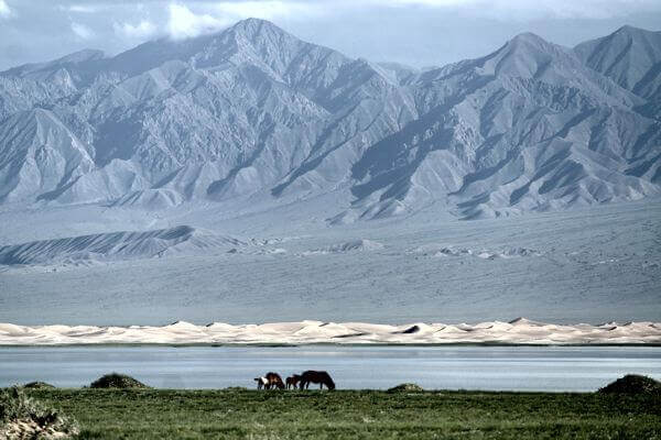
Today we will head westwards passing Ikh-Uul and Tosontsengel village of Zavkhan Province. End of the afternoon we will reach Telmen Lake. Telmen is a beautiful lake which hosts abundant birdlife. The lake lies near the boundary between the forest-steppe and steppe ecosystems. You will find different kinds of landscape around the lake such as sand dunes, beautiful mountains, green forest and several rivers and other lakes. Lake Telmen, a closed lake basin, is slightly salty (about 4g per liter salinity). Here you can see the rare desert flower “zambaga”. We will enjoy some hiking and relaxing near the lake.

(Tented camp B, L, D)
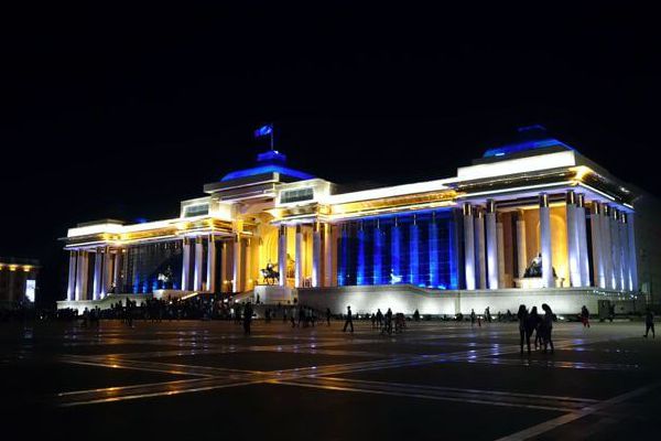
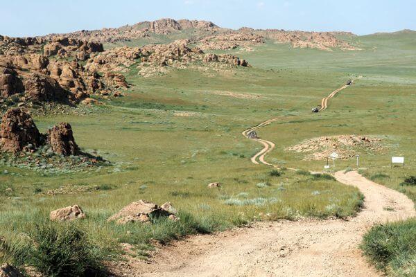
Lake Mongolia
seven

Uliastai & Otgontenger Mountain

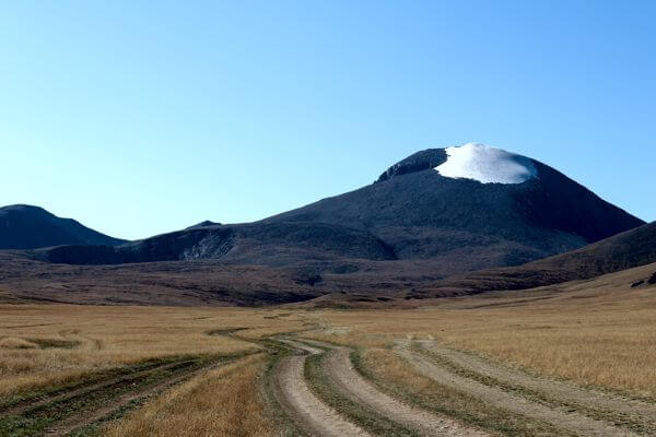
Passing through Zagastaiin Pass we will reach Uliastai, capital city of Zavkhan Province. We will have a breathtaking vies over Otgontenger Mountain. Otgontenger Uul is the highest peak of the Khangai Nuruu range and Mongolia’s 5th highest mountain. Its peak is at 4020 meters above the sea level. Otgontenger is the only mountain of the Khangai range that is capped with a glacier.

The mountain is one of the worshipped mountains of Mongolia.  Worshipping began during Khunnu times by the first governing state of Mongolia, and this tradition continues to the present day. Historically, this mountain was initially protected in 1818. The peak and its environs have been protected since 1992 to conserve the high mountain ecosystem. The south face of Otgon Tenger Uul is the biggest granite wall in Mongolia.

(Tented camp B, L, D)
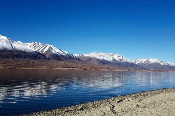
Western Mongolia
Otgontenger Mountain
eight

Mukhart Oasis

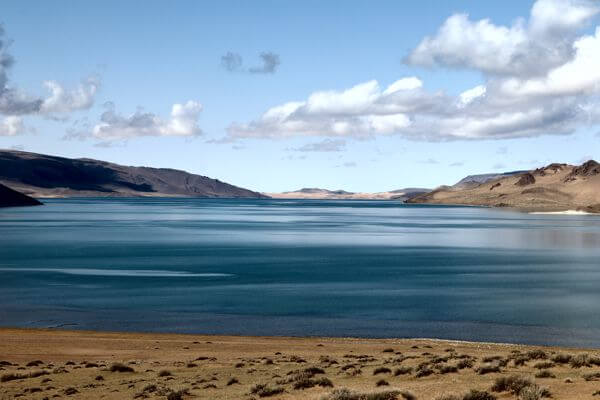
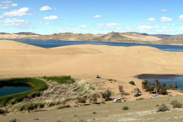
Today will have a first glimpse of Bor Khyariin Els. Bor Khyariin Sand Dunes are about 180 km long, 15 km wide, and 300-meter high. Sand dune has few passages and offers a beautiful panoramic view on the surrounding area. All along the sand dune a river Hungiin flows in length of 200 km and is a vital life source to desert people and their cattle.

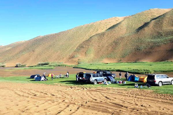
Further we will continue to Mukhart river source. Several sites of the sand dunes harbour small or big rivers. The most interesting one is Mukhart River arises beneath the sand dunes and flows throughout the desert and finally join Zavkhan River. We will climb dunes and hike around the river. There has been eco-friendly project led by a researcher who initiated tree planting some years ago. Now the river is surrounded by trees, bushes and a heaven for animals.

(Tented camp B, L, D)
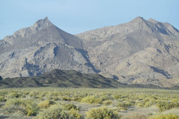
Camping at Mukhart Oasis
Mukhart Oasis
nine

Ulaagchiin Khar Lake & Senjit Rock

Today we will drive to Senjit Rock, the stone gate that has a shape of granite rocky arch located on a top of hill. In ancient times the rock used to be solid but the strong wind carved the gate into today’s formation over millions of years. The size of the gate is 6m in width, 3.5m in height and a nature beauty of the area and stands on 2773 meter above sea level. After visiting Senjit Stone we will continue on to Ulaagchiin Khar Lake. Embedded in the sand dunes belt there is Ulaagchiin Khar Lake is located to west side around 1000 km from Ulaanbaatar capital city. The lake is surrounded by huge sand dunes in the north and mountain hills in the southern shore. Beautiful view.

(Tented camp B, L, D)

Ulaagchinii Khar Nuur
ten

Bayan Nuur Lake & Bor Hyariin Els Dune

We will drive on Mongolia’s worst roads to enter, at last, one of Mongolia’s least visited regions, the Great Lakes Depressions. Today we will drive to the largest and highest Mongolian sand dunes. Bor Khyariin Sand Dunes are 300-meter-high and offer a beautiful panoramic view of the surrounding area. Embedded in the sand dunes belt there is Bayan Lake.

We will drive through some sand dune passages and cross little river through sand dune.

(Tented camp B, L, D)

Ulaagchinii Khar Nuur
11

Airag & Khyargas Lakes

The Great Lakes Depressions is a region that stretches out from Uvs to Khovd aimag over about 40.000 square kilometres. The Great lake depression is a semi-arid desert region delimited westward by the Altai Mountain Range. In spring, melting snow from the Altai Mountain ends up in the depression’s lakes. Being deprived of outlets to the sea, those salt lakes become giant evaporating points.

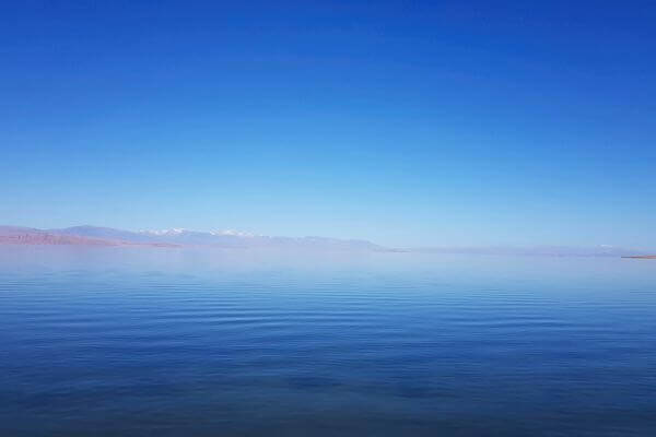
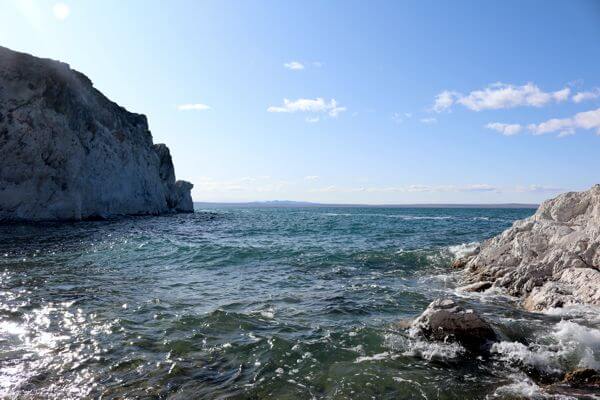
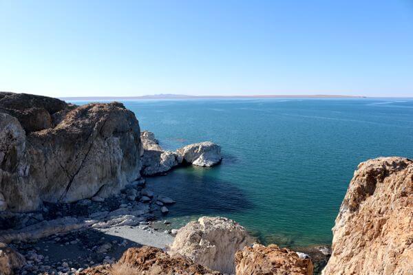
Later during the day, we will reach Khyargas Lake which is famous for having the least number of mosquitoes at any time of year, and its banks are like a pleasant seashore. On east shore of the lake we will visit 5 to 6-meter-long 20-meter-high white cliff called Khezuu Khad by locals. Spring time many migratory water birds nestle and breed. 

(Tented camp B, L, D)

Khyargas Lake
12

Extra Relaxing at the Lakes

After having driven through half of Mongolia, we will relax for another day at the lakes. Will have chance to swim and relax.

(Tented camp B, L, D)

Khyargas Nuur
13

Shaazgai Lake & Goojuur waterfall

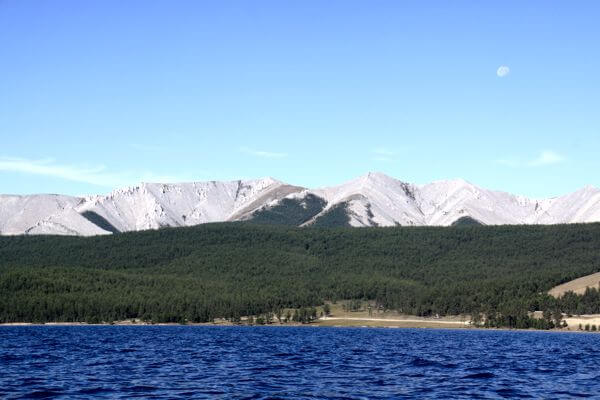
Uvs province in the far north west of Mongolia is a spectacular region of permanently snow-capped mountains, glaciers, torrential rivers, salt-water and freshwater lakes, sand dunes and a fantastic variety of animals and plants. Our destination today is another beautiful lake right at foot of Kharkhiraa and Turgen Mountain. This little beautiful lake is completely surrounded by snow-capped mountains without outlet and taking its source from glaciers. Spectacular view. We will drive further up to mountain on challenging rough road with huge stones to visit Goojuur waterfall. The waterfall height is 17 meter at altitude …. and flowing south through impressive gorges reaching further Khovd River. Just imagine the view you will experience from here far worth than the rough road.

(Tented camp B, L, D)
Shaazgai Lake
14

Achit Lake & Olgii

From here we will drive to Achit Lake. Achit Lake is the largest freshwater lake in the province. It is on the border of Uvs and Bayan Ulgii provinces, and is an easy detour between Olgii and Ulaangom. It offers stunning sunsets and sunrises as well as good fishing. The lake is home to an astonishing array of water bird flocks. Before reaching the lake we will cross the Ogotor Hamar Pass from which you will have breath-taking views of the region.

We will hike around the lake. In the evening we will reach the most western aimag of Mongolia, Bayan-Olgii. Unlike the rest of Mongolia, which is dominated by Khalkh Mongolians, about 90% of Bayan-Olgii’s population are Kazakh, almost all of them Muslims.

Olgii, capital city of the aimag is a Muslim influenced ethnically Kazakh city. It is home to a mosque.

Olgii’s mosque and madrasah (Islamic place of learning) is worth a quick look, especially on Friday at lunch time when weekly prayers are held, though you may not be allowed inside. The mosque holds the offices of the Islamic Centre of Mongolia. Its unusual angle is due to its orientation to Mecca.

We will spend the afternoon strolling around in the aimag centre. We will visit the museum that has some interesting displays and gives a good overview of Kazakh culture. We will also pay a visit to the mosque.

(Tented camp B, L, D)

Bayan-Olgii
Achit Lake
15

Altantogts village & Overnight in Eagle Hunter family

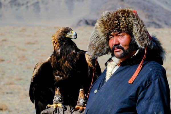
Today we will live a life of a Kazakh eagle hunter! We will be follow our eagle hunter and his bird on horseback for 3-4 hour treks through the Altai Mountains looking for prey. The rest of the time we will be interacting with the family members (Kazakh people tend to have large families) and experiencing their daily life. Kazakh people are known with their warm hospitality so prepare to feel greatly welcome in their home.

(Family stay B, L, D)

Kazakh Man
16

Tsambagarav Mountain

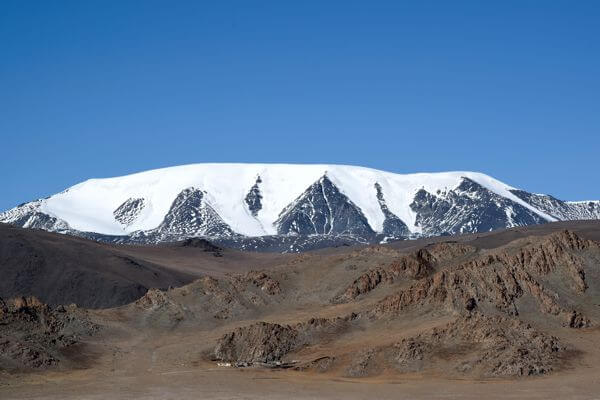
Today we will explore Tsambagarav Mountain (4200 meters), one of Mongolia’s most glorious snow-capped peaks. The area has beautiful scenery, rich wildlife and archaeological sites. Below peaks there are plenty glaciers and glacial beautiful turquoise lakes and waterfalls flowing deep gorges. In summer time the grassland in this valley is covered with a carpet of alpine flowers. The park attracts visitors and offers plenty outside activities in its pristine condition: Hiking, horseback riding and camel riding are the best option to explore the area. The region has lush valleys, dozens of little lakes and permanently snow-capped peaks.

(Tented camp B, L, D)

Tsambagarav Mountain
17

Khovd, Khar Us Lake & Tsenheriin Agui

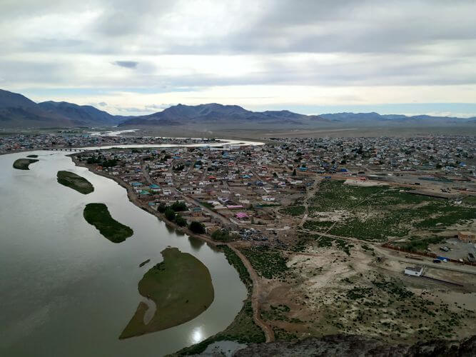
By lunch time we will arrive in Khovd, capital city of Khovd Province. Sangiin Kherem is the Mongolian name for the remains of the Manchu fort in the Northern part of Khovd city, Mongolia. The fort was built in the 18th century, and later became the seat of the Manchu amban and his office. The fort has a quadratic layout; the walls are made of clay. There were gates at the east and west and watch towers at the four corners. The fort’s walls were surrounded by water ditches, with wooden bridges to access the gates. The remaining walls are 3 metres high and 1.5 metres thick, oriented at the four corners of the earth, each side was 0.33 km. According to Russian Geographer M. V. Pevtsov, who visited the city in 1878, the height of the walls back then was 4.5 metres [1]. The southern portion of the fort was occupied by the Manchu amban, treasury, offices, and military barracks. The eastern part was occupied by commercial firms, a Chinese Buddhist temple and a mosque. Since the year 1912 when city Khovd was liberated from the Manchu administration and the fort was taken by force, the citadel declined.

We will drive along Khar Us Nuur (Black Water Lake), the second largest freshwater lake but in average depth of only 4 m. Khovd Gol (River) flows into this lake and its shore is not easy to approach with vegetation and marshes. In the evening we will reach The Tsenkheriin Agui (also known as Khoid Tsenkher) caves are for their cave paintings, dates from 20.000 years ago. Interesting is that both mammoths and ostriches are depicted on the walls, proving that both lived in Mongolia up to approximately 15,000 years ago.

The cave has numerous passages to explore. The largest cavern (12 by 18 meters) is about 15m high. We will make a short trekking in the cave’s area.

(Ger camp B, L, D)

Khar Us Nuur
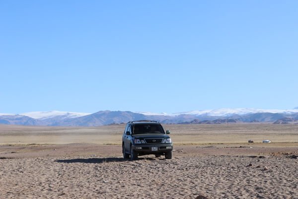
Driving Off Road Mongolia
18

Altai

Today we will reach Altai, capital city of Gobi-Altaï Province. Altaï is nestled between the mountains of Khasagt Khairkhan Uul (3579m) and Jargalant Uul (3070m). We will overnight somewhere past Altai.

(Tented camp B, L, D)

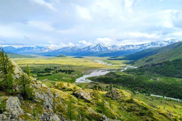
Gobi-Altai Region
19

Boon Tsagaan Nuur

A chain of large and small saline lakes lies at the foot of the Gobi-Altai in the broad inter-mountain depression between the Khangai and Gobi-Altai ranges. They are shallow, with a saucer shaped depth profile, and vary considerably size both seasonally and from year to year. Some may dry out completely in certain years. They all receive their inflow from rivers which rise in the Khangai Mountains, and no permanent inflow comes from the Gobi-Altai. The principal lakes are the Boon Tsagaan Nuur, Tatsiin Tsagaan Nuur, Adgiin Tsagaan Nuur, Orog Nuur. As the lakes shrinks in summer, it leaves areas of salt marsh, especially to the east of the lake.

Today, we continuing further drive to the large saltwater Boon Tsagaan Nuur lake (in the south-west of Bayankhongor Province), at the end of Baidrag river that is located at the foot of the Gobi-Altai Mountain Range.

Boon Tsagaan Nuur is one of the main stopover sites of migratory birds and also breeding ground. This site is very popular with birdlife, especially the relic gull, whooper swan and geese. We will record most ducks, geese, waders and passerines in this lake.

(Tented camp B, L, D)

Bayankhongor Region
20

Ikh Bogd Mountain

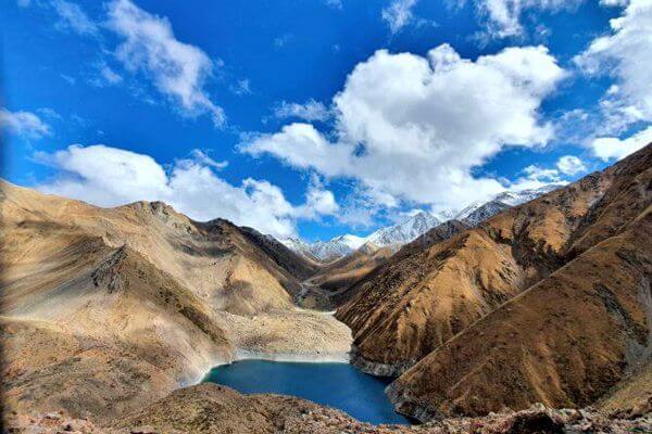
The mountain of Ikh Bogd, the highest peak of the Gobi – Altai Mountain Range, attains an altitude of 3,957 meters above sea level. In 1957 severe earthquakes took place in Ikh Bogd, as a result of which was opened up an enormously long surface fracture (the Bogd Fault) and a vast area underwent major deformation.

(Tented camp B, L, D)

Turquoise Lake Ikh Bogd Mountain
21

Hiking to Oyu and Nomin Lakes (Turquoise & Azure Lakes) in Ikh Bogd Mountain

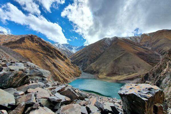
During major earthquake of magnitude 11, one peak of mountains collapsed and rocks filled the valley where river was flowing and now two beautiful fresh water lakes are formed cut by massive rocks in between.

We will set out early morning for whole day hiking to reach both lakes. Your effort will be worth. The view is amazing.

(Tented camp B, L, D)

Azure Lake Ikh Bogd Mountain
22

Tsagaan Agui Cave & Drawings and Baga Bogd Uul & Mountain

Today we will continue further driving to the saltwater Orog Lake-this lake is in the end of the Tuin River, which passes through small city of Bayankhongor.

Orog Nuut is located at the foot of the Ikh Bogd Uul massif, in the Gobi Valley of Lakes. This lake is a good place to watch birdlife. Further on we will stop at Tsagaan Agui Cave also named White Cave.

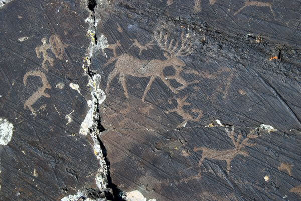
The White Cave is located close Bayanlig village. It is situated in a narrow gorge, and is home to numerous ancient cave drawings. The cave once housed Stone Age human beings 700,000 years ago. It also features a crystalline inner chamber. (N44°42.604′, E101°10.187′)

There are also Petroglyph Writings close to Bayanlig village. Bichig Khad, literally Stone with writings. They have been dated to 3, 000 years ago and are considered sacred. The animal drawings here also provide evidence that Mongolians have been domestic, there is other evidence that that they once farmed and domesticated animals. One example is a domesticated cow ploughing the ground. (N44°17.217′, E100°31.329′)

We will camp in between beautiful gorges of Baga Bogd Mountain Massif.

Baga Bogd Mountain is one of the three mountains (Bogd) of the Gobi Altai Mountain Range. The mountain has an elevation of 3.590 meters above sea level. There are many rare animals such as Argali, Siberian Ibex, etc.

(Tented camp B, L, D)

Petroglyphe
Best of Mongolia
23

Khongoryn Els

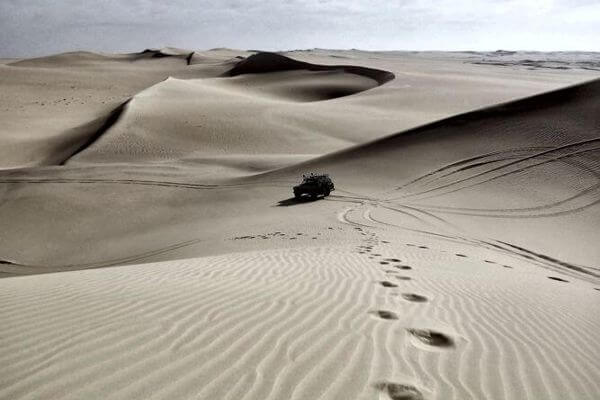
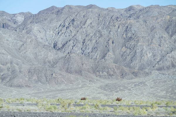
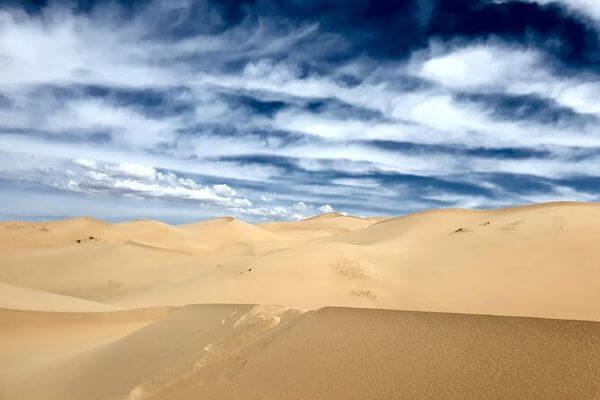
Khongoryn Els Sand Dunes will be our next stop. These are Mongolia’s largest sand dunes. Those impressive dunes of 275 meters high in some places, stretch from East to West over more than 100 km. Behind the sand dunes we will see the impressive black rocky mass of the Sevrey Mountain. Those who are courageous will climb to highest dune equivalent of 40 store building. Once you reach the top of the dune, your effort will be rewarded. The whole environment looks full of mysteries, and you get amazed how possibly the landscape can be like that. After dune excursion will visit camel breeding family.  It is our tradition to offer food and drinks without asking the visitors.

(Ger camp B, L, D)

Sand Dune
24

Yolyn Am and Dungenee Gorge

The Gobi is a cold desert, with frost snow on its dunes during the winter months. Besides being quite far north, it is also located on a plateau roughly 910–1,520 meters above sea level, which further contributes to its low temperatures. An average of approximately 194 millimetres of rain falls per year in the Gobi. Additional moisture reaches parts of the Gobi in winter as snow is blown by the wind from the Siberian Steppes. These winds cause the Gobi to reach extremes of temperature ranging from –40°C in winter to +50°C in summer.

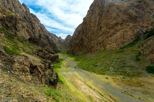
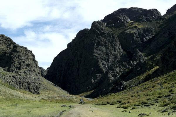
Today we will take a ride through the beautiful gorges of the imposing Altai Mountain Chain. We will pass through the Yolyn Am and the Dungenee Canyon both located in the Gobi Gurvansaikhan National Park. Ancient rivers carved those green valleys.

We may catch a glimpse of the wild Argali sheep, the Ibex, the desert gazelles or the Golden Eagles. We will also pay a visit to the little museum of the park where you can admire a collection of dinosaur bones and stuffed animals.

(Ger camp B, L, D)

Vulture Valley
Yolyn Am
25

Bayanzag or Flaming Cliffs

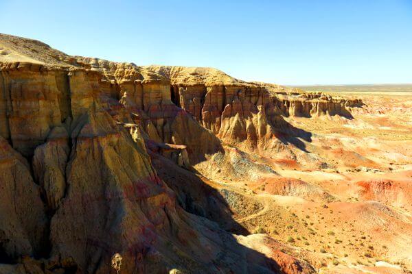
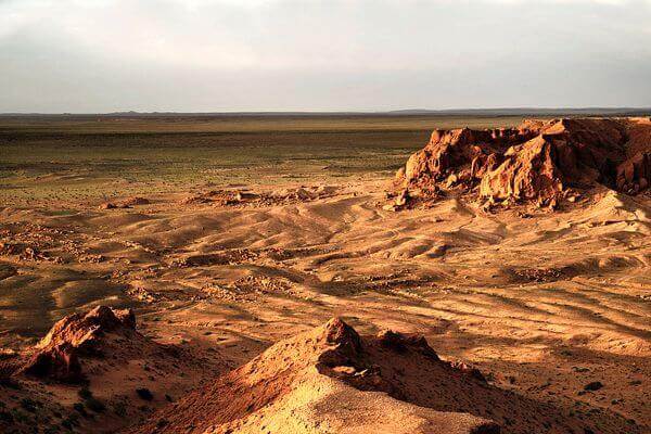
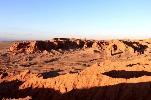
Today we will drive to Bayanzag also known as the “Flaming Cliffs” is the   worldwide renowned place where palaeontologist Roy Chapman Andrews found dinosaur bones and eggs. The surrounding landscape is a beautiful combination of rocks, red sand and scrubs. Here we will spend some time exploring the cliffs.

(Ger camp B, L, D)

Bayanzag
26

Ongiin & Khoshuu Monastery

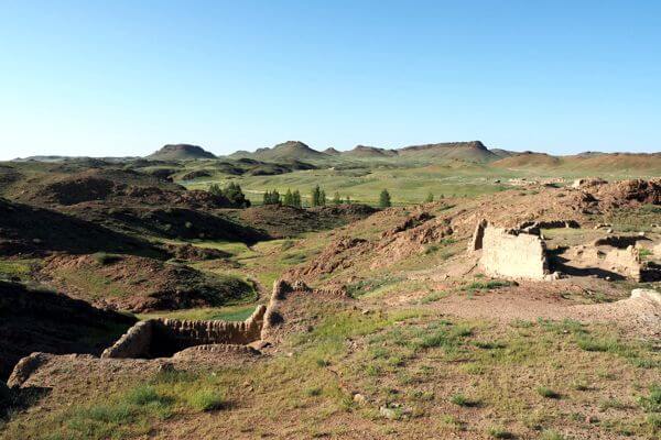
After a breakfast, we will start driving towards the North Gobi Desert. In the afternoon we will enjoy the peace and beauty of the Delger Khangai Mountains. We will explore the ruins of Khoshuu Monastery on one side of the river and the ruins of Ongiin Monastery on the other side of the river. We will hike around in this massive series of rocky hills cut by the river.

The monasteries were built in the 17th century and destroyed in 1937. They were among the largest temples in Mongolia and housed over 1000 monks.

Nowadays between ruins little monastery was built and in Ger museum are exhibited interesting and rare remains of old monasteries.

(Ger camp B, L, D)

Ongiin Monastery
27

Baga Gazriin Chuluu & Delgeriin Choir Monastery

After breakfast we will head for Bag Gazrin Chuluu. It is a huge granite formation in the middle of the Mongolian sandy plane.

On open plain we will visit the remains of a small monastery named Delgeriin Chior Monastery. Huge impressive 12 walls Ger richly decorated and carved used by monks to chant during colder season when the stone monastery gets too cold to be inside.

End of the afternoon we will drive and hike around in the area. We will visit the picturesque ruins of a small monastery that are hidden in a nice little protected valley and wander between huge endless piled granite rocky hills as if they were put. There is a little spring in the rocks of Baga Gazriin Chuluu which is renowned for its eye healing power. Try healing your eyes as locals do and drip some magic water into your eyes.

(Ger camp B, L, D)

Baga Gazar Chuluu
28

Drive back to Ulaanbaatar

We will drive back to Ulaanbaatar, the capital city. Our team will take you directly to your hotel. You may enjoy the free afternoon to catch up all the places you haven’t visited yet. In the evening we will have a farewell dinner and share some unforgettable moments of the trip.

(B, L)

Undiscovered East

Option: 1 days to Khoton & Khurgan Lakes

From Olgii we will drive further westwards into the direction of the Tavan Bogd Mountain. We will reach in the afternoon the Khoton and Khurgan Lakes. They are pretty lakes at an altitude slightly over 2.000 meters’ altitude. South of the lake, into the direction of China you will see the snow-capped Altai Mountain Chain.

Khoton Lake

Option: 2 days’ trip to Eej Khairhan

This ancient stone massif Eej Khairkhan rises from the desert and resembles a prone woman. The massive has 7 interconnected water pots. When the first pot is filled up, it creates a little waterfall by spilling its excess water to the next pot through the stone threshold, which is 40 to 50 cm long.

Nearby the water pots there is a little cave monastery where the monk knows as the “Monk with the white horse and the white camel” lived. About 30 minutes-walk westwards are some spectacular, ancient rock paintings of ibex, horsemen and archers. This area was protected in 1992.

Eej Khairkhan

INCLUDED

NOT INCLUDED